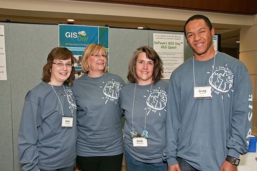
The Geographic Information Systems (GIS) Program promotes and supports the use of GIS and other spatial technologies by:
Last updated: 15-Mar-2020
Incorporating GIS into the Curriculum
In support of the University's core mission, GIS staff closely collaborate with faculty members to introduce and incorporate spatial technologies into course curriculum. The focus of these collaborations are enhancing the learning experience, enabling tangible research, and encouraging the communication of knowledge.
Integrating GIS into Research
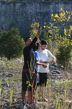
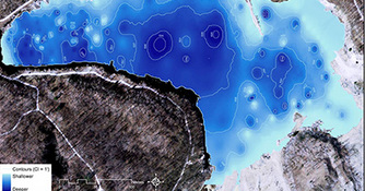
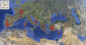
The DePauw GIS program grew from a simple effort to support a few faculty members' research projects. Expanding and supporting the application of spatial analytical techniques in faculty members' personal research continues to be a core element of the program.
Utilizing GIS in Administrative Processes
Because of its cross-disciplinary versatility, GIS is an effective tool for managing information, a characteristic being leveraged by administrative departments at DePauw.
Supporting GIS in Community Projects
Believing that the connections technology enables, not necessarily the technology itself, are most important, town-gown GIS collaborations help to establish a symbiotic relationship that benefits both DePauw and the surrounding region.