GEOS 315: Map Interpretation Field Trip - Lost River Karst Terrain, IN
October 1, 2016
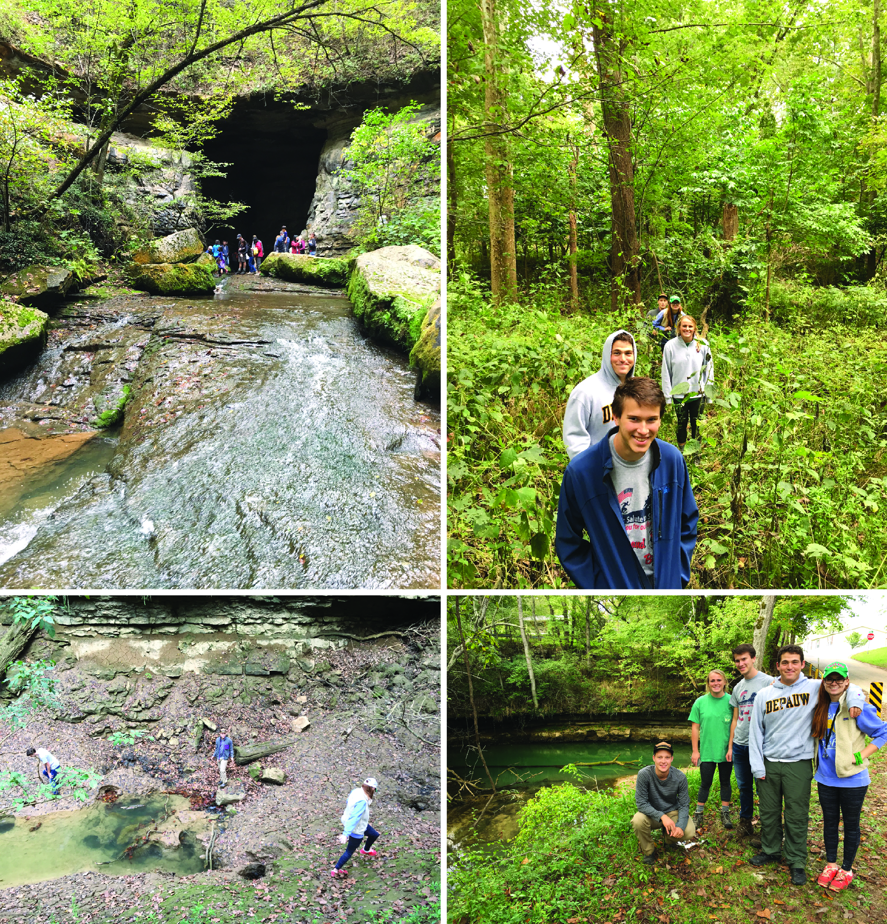
On Saturday, October 1, Professor Scott Wilkerson led a GEOS 315: Map Interpretation field trip to the Lost River karst terrain in south-central Indiana. The group first stopped at Spring Mill State Park to explore the many caves, karst windows, and springs there (one emerging from Donaldson Cave; upper left photo). They then traversed across the Mitchell sinkhole plain, criss-crossing the Lost River to observe how surface flow was diverted into the subsurface via sinkholes adjacent to the stream bed (swallow holes; upper right photo shows the group hiking through brush to the famous Stein swallow hole). The group later "found" the Lost River at Wesley Chapel Gulf, a karst window where the Lost River briefly reappears before descending back into the subsurface via swallow holes (lower left photo; group is watching the water swirl into the swallow holes). Towards the end of the field trip, the group visited the Orangeville Rise, a resurgent spring where water from the northern part of the Lost River basin re-emerges from a limestone cliff to continue flowing at the surface as the Lost River. The weather was awesome, the group's enthusiasm was outstanding, and the pleasure of looking at rocks/landforms and having dinner together was very enjoyable.