GEOS Publication - Geotours Workbook
February 21, 2012
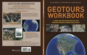
The Geotours Workbook (ISBN: 978-0-393-91891-5, 2012) is a new book written by Prof. Scott Wilkerson (Department of Geosciences), Beth Wilkerson (DePauw GIS Center), and Prof. Stephen Marshak (University of Illinois), and published by W. W. Norton Publishers.
The book is divided into three main sections:
- a introduction that describes the Google Earth interface,
- 19 Geotour worksheets that use multiple-choice questions to interactively explore different geoscience topics, and
- step-by-step instructions that explain how to develop media-rich content for Google Earth (e.g., learn how to drape geo-referenced maps whose transparency can be adjusted over the 3-D terrain, link photographs and videos within spatially referenced placemarks, create self-running low-altitude flight paths along prescribed corridors, and use timesequence imagery to view temporal changes of landforms and/or cultural features).
The Geotours Workbook is designed to be used with any introductory geoscience textbook to enhance comprehension of geoscience concepts and processes, or it may be used independently as a stand-alone book for learning how to create feature-rich Google Earth projects.
W.W. Norton: http://books.wwnorton.com/books/978-0-393-91891-5/